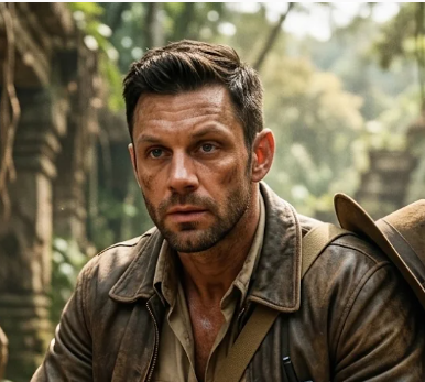
The hard drive came back to me in a padded envelope with no return address. Two years ago it was stolen from my hotel room in Quito, by a woman who spiked my drink. I’d written it off. It held field notes, drone footage and my LiDAR survey grids from three seasons in Ecuador.
Someone had added to it. There were 214 new files. They were survey grids too, but not mine. Unexcavated sites in Peru, Bolivia, Jordan and Egypt, each with a column I’d never use: estimated market value.
The metadata named a company. Meridian Fine Art Partners, Geneva. On paper it’s an art investment fund. Its managing partner is Lucien Vail, who sits on two museum boards and gives very good lectures about protecting heritage.
I’ve spent twenty years taking pictures of the ground from the air. I know what a looter’s map looks like. This one was better made than most university surveys.
I called Tomasz Wrona, who doesn’t ask why. I called Inês Tavares, who always asks why. Then I put the drive in the safe and booked instrument training. If I’m going to follow this, I’ll need to fly in weather I currently avoid.
Rule one stays the same. Record it first. Report it. Never sell it.